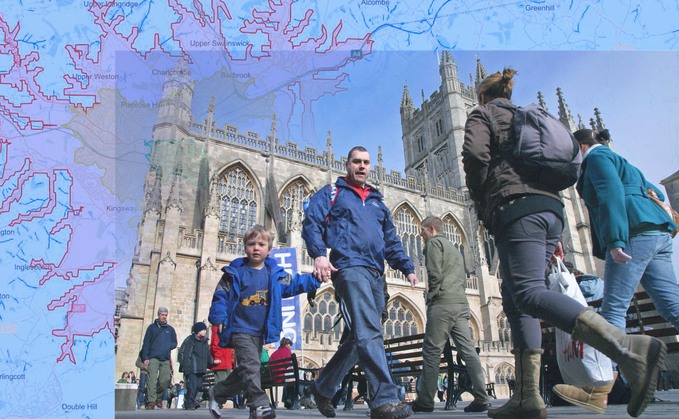
Bath is one of the areas already using the new XMAP tool (Credit: Geoxphere)
XMAP GIS Tool will aims to help council planners develop infrastructure that is better tailored for walking and cycling
A new generation of interactive maps are set to help communities choose active transport options as part of the government's £2bn package to encourage walking and cycling. Satellite mapping technology...
To continue reading this article...
Join BusinessGreen
In just a few clicks you can start your free BusinessGreen Lite membership for 12 months, providing you access to:
- Three complimentary articles per month covering the latest real-time news, analysis, and opinion from Europe’s leading source of information on the Green economy and business
- Receive important and breaking news stories via our daily news alert
- Our weekly newsletter with the best of the week’s green business news and analysis


